Category: United States
Bell Rock Pathway
DETAILS Directions: Parking areas are along Route 179. If coming from Sedona, park at the north trailhead on the left. If coming from Oak Creek, park at the south trailhead on the right. Equipment: Sun protection water camera light hiking shoes Hike Info: Popular, well maintained dirt path. Be aware it is common to […]
Read FullFay Canyon
DETAILS Directions: Located on Boynton Pass rd, between Boynton Canyon rd and the Doe Mountain trail head. You can’t miss the large paved parking area. Equipment: water Sturdy hiking shoes camera Hike Info: Well maintained trail. The hike up to Fay Canyon Arch is short but steep. Fay Canyon is one of the shorter […]
Read FullBear Mountain
DETAILS Directions: Take Dry Creek Rd to Boynton Pass Rd. Turn left here. Drive to Boynton Canyon Rd and turn left. Continue here for several miles passing the Fay Canyon parking area on the left. The next parking area on the left is Doe Mountain/Bear Mountain. Equipment: Sturdy hiking shoes camera sun protection extra […]
Read Full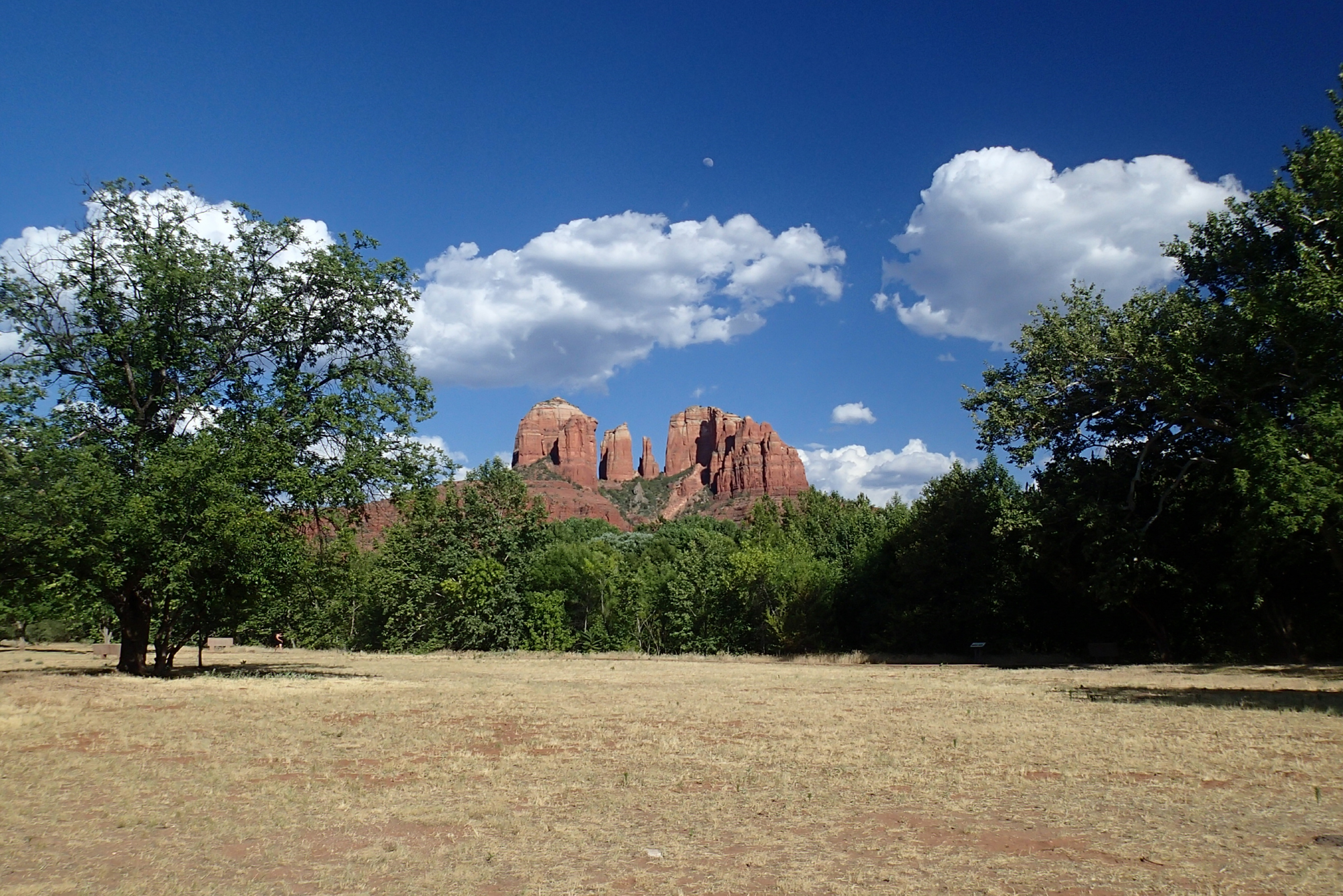
Sedona
Through the years I have hiked every trail in Sedona. Starting back to the early 90’s it was always a rejuvenating experience. Many things here have changed over the years, most of all the number of people who visit. Increased tourism and traffic have changed the area forever. But you can’t change the beauty of […]
Read FullThe Cockscomb
DETAILS Directions: From the route 179/89A junction, take 89A west for 3.1 miles. Turn right on Dry Creek Rd. and go 5.9 miles (road turns into Boynton Pass Rd.). There is two left turns but the road remains Boynton Pass rd. Turn left onto Aerie Rd then left onto Altair Rd. Equipment: Sturdy Hiking […]
Read FullFlagstaff
Read FullArizona Trail: Aspen Corner to Bismark Lake
DETAILS Directions: From Flagstaff take Route 66 west. Turn right on N. Humphrey St. and follow for a half mile. Turn left on W. Columbus Ave. and conyinue onto US 180 for 6.6 miles. Turn right onto North Snowbowl rd. Parking on left 5.3 miles up Snowbowl. Equipment: Sturdy hiking shoes water camera sun […]
Read FullAgua Fria National Monument
Read FullPueblo La Plata
DETAILS Directions: Take exit 259 off Route 17 from Phoenix. Turn right on Bloody Basin road and follow for 8.5 miles. Pueblo La Plata is on the left and a sign marks the way. Equipment: Water Sun protection camera Light hiking shoes Hike Info: The trail is very easy and short to the ruins. […]
Read Full