Category: United States

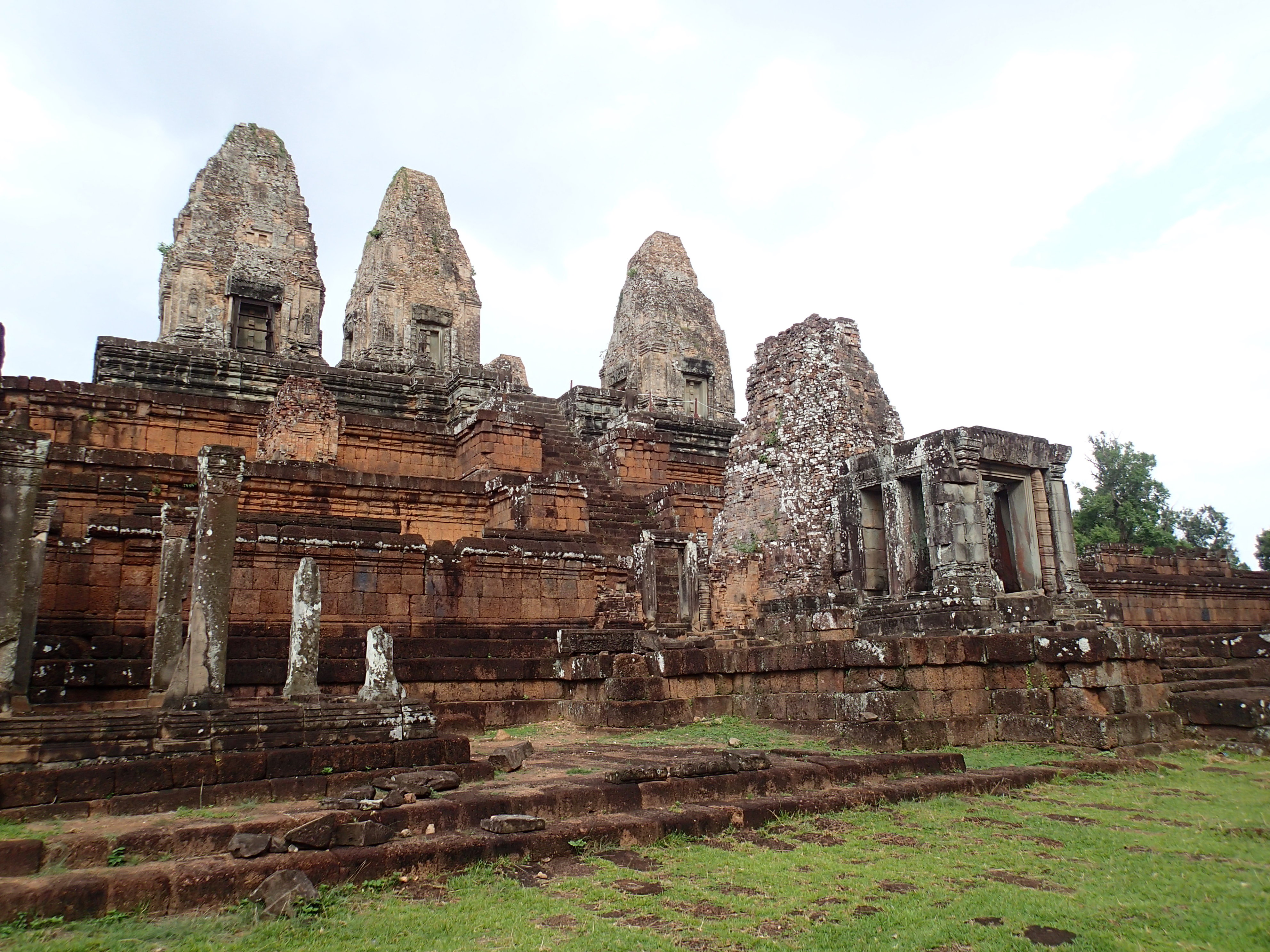
Angkor Archaeological Park
In 2015 I decided to explore a few locations that see few visitors. My first stop was Ta Nei Temple which is just after you pass Ta Keo from the Victory Gate. I also took a ride out to Kbal Spean which was a short jungle trek to a unique set of carving in the […]
Baksei Cham Krong
Baksei Cham Krong means, The bird that shelters under its wings. The legend is that during an attack on Angkor, the king was sheltered by a large bird that spread it’s wings and saved the king. Baksei Cham Krong is only one temple. It is constructed out of different materials you see at Angkor […]
Cambodia
My travels through Cambodia have focused on exploring Angkor Archaeological Park and the surrounding area. Below is a featured detail of how to best explore the park over five days. This does not include travel to and from Siem Reap so you would need a day to arrive and another to depart. Below this five […]
DETAILS Directions: The easiest way to get to the trail head is from Utah and route 89. From Route 89, take House Rock rd. Pass the Buckskin Gulch and Wire Pass Trailheads. Continue until you reach the Stateline Campground on the right and park there. Equipment: Sturdy hiking shoes water camera sun protection food/snacks […]
Long Canyon Trail
DETAILS Directions: From Route 89A in Sedona, turn right on Dry Creek Rd. Dry Creek Rd eventually becomes Boynton Pass Rd. At the first stop sign turn right onto Long Canyon Rd. Parking for the Mescal Trail on the right and the trail is on the opposite side of the street. Equipment: Sturdy hiking […]
Deadman’s Pass Trail
DETAILS Directions: From Sedona, take Dry Creek rd which turns into Boynton Pass Rd. At the end, turn right onto Boynton Canyon Road. Trail head parking is on the right. Equipment: Sturdy hiking shoes camera sun protection map water Food/snacks Hike Info: Trail is easy to follow and not very difficult. Typically done as […]
Boynton Vista Trail
DETAILS Directions: From route 89A, turn right on Dry Creek Road. This turns into Boynton Pass Road. At the end of the road, turn right onto Boynton Canyon Road. The parking area is on the right Equipment: water sturdy hiking shoes camera food/snack Hike Info: Well maintained and easy to follow trail. A Red […]
Boynton Canyon Trail
DETAILS Directions: From route 89A, turn right on Dry Creek Road. This turns into Boynton Pass Road. At the end of the road, turn right onto Boynton Canyon Road. The parking area is on the right Equipment: water sturdy hiking shoes camera food/snack Hike Info: Well maintained and easy to follow trail. A Red […]
Mescal Mountain Loop
DETAILS Directions: From Route 89A in Sedona, turn right on Dry Creek Rd. Dry Creek Rd eventually becomes Boynton Pass Rd. At the first stop sign turn right onto Long Canyon Rd. Parking for the Mescal Trail on the right and the trail is on the opposite side of the street. Equipment: Sturdy hiking […]