Category: United States
Cactus Garden Trail
The Cactus Garden Trail begins to the left of the Red Hills visitor center. The trail is paved and is very short. This is an interpretive trail with signs identifying plants and cactus indigenous to the park. If you want to learn about this plants and be able to identify them as you do […]
Javelina Wash Trail
This trail starts at the end of the Cactus Garden Trail. Javelina drops down into a wash that circles behind the visitor center. The trail is only about 600 feet long. This is a very boring trail and you would be better off just to avoid. Address: 2700 N Kinney Rd, Tucson
Ironwood Forest Trail
The Ironwood Forest Trail is located in the west section and connects the Cam-Boh Trail and the Picture Rock Wash Trail. The trail is about 1.5 miles long and fairly straight forward. It is one of the more rocky trails in this area. Equipment: Sturdy leather boots, plenty of water, sun screen and a […]
Coyote Pass Trail
DETAILS Directions: Coyote Pass Trail is only accessible from the Ringtail Trail. Equipment: Sturdy hiking shoes water sun protection map camera Hike Info: Well maintain trail with metal markers at trail junctions. Coyote Pass is in the West section of the park and is accessed from the the Cactus Canyon Trail and usually done […]
Brown Mountain Trail
I really enjoyed this hike. I recommend doing the hike as an out and back. Also, just before sunset is especially nice. The hike is just over 4 miles total out and back. It has a climb at the beginning then rolls along a ridge with beautiful views of the Tucson Mountains. Be aware […]

Cascada Rio Pipo
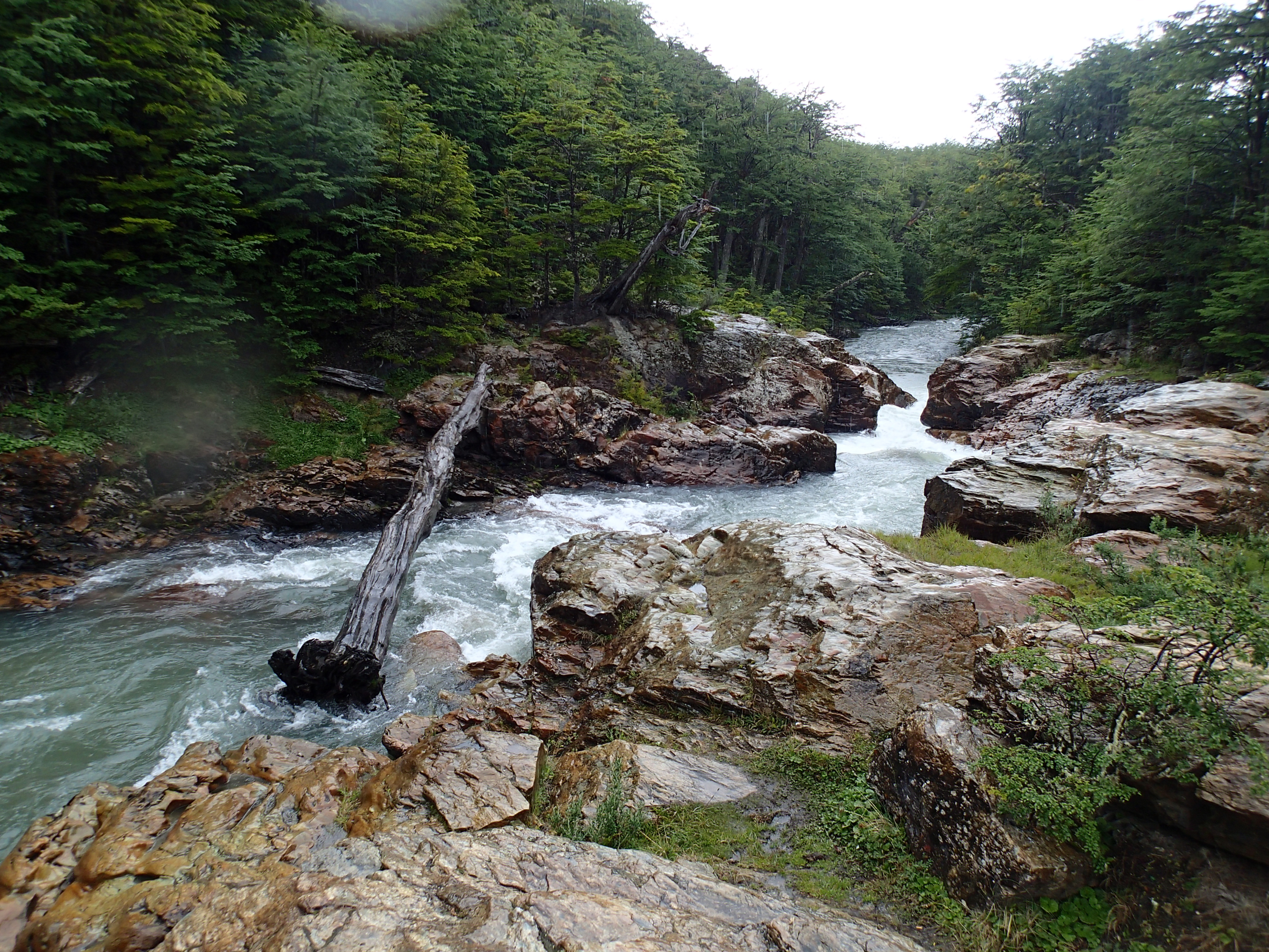
This short easy trail is located at the end of a dirt road in Tierra del Fuego National Park. The wide trail follows the Rio Pipo upstream to a viewing platform overlooking a narrow whitewater section of the river called “The Cascade.” From the parking area, walk through a make-shift barrier with the river on […]
Oak Creek Trail
DETAILS Directions: From the 179/89A junction, take 89A west for 4 miles. Turn left onto Upper Red Rock Loop rd and take for 1.8 miles. Turn left onto Chavez Ranch Rd. Turn right onto Red Rock Crossing rd and park entrance is on the left. Equipment: Light hiking shoes camera water food/snacks bathing suit […]
Chimney Rock Loop
DETAILS Directions: From the route 179/89A junction, take route 89A west for 2.4 miles. Turn right on Andante Dr for 1.1 miles then left onto Skyview Way. Trail head is at the end of the road. Equipment: Light hiking shoes water sun protection camera Hike Info: Well maintain trail popular with local trail runners. […]
Soldier Pass Trail
DETAILS Directions: Equipment: Hike Info: Soldier Pass Trail begins at the end of Shadows Canyon Road in Sedona. There is a parking area here. The trail climbs gradually for about .25 mile when you reach Devils Kitchen, a sink hole with a large block of sandstone balanced on the side. About another .25 mile […]