Category: United States

Onion Creek
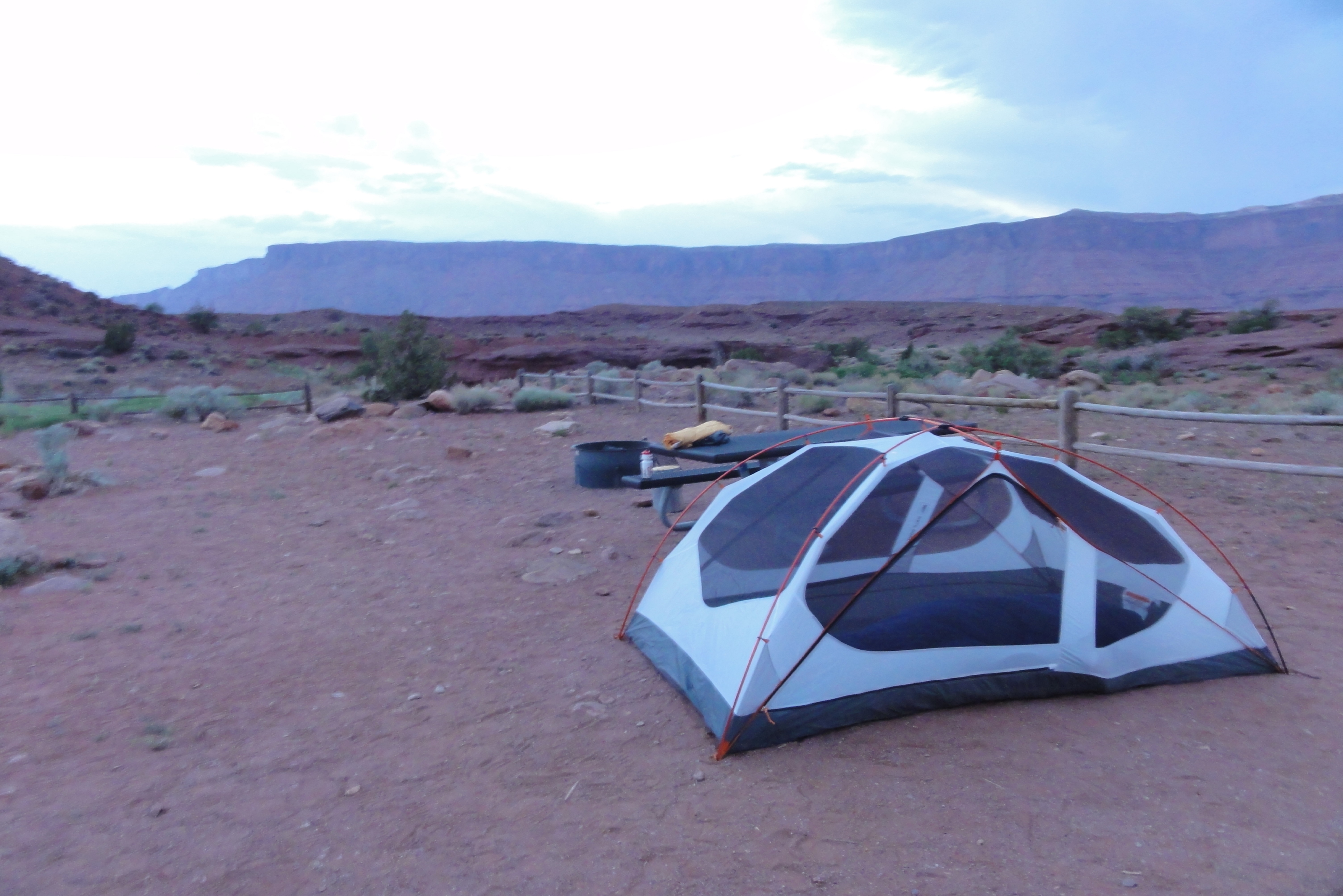
There are two Onion Creek camping areas. Upper Onion Creek is the most popular and has several group sites. The Lower Onion Creek site is a 1/2 mile further down 128 (going east). It is very secluded, I have never had a problem camping here even though it is for groups. There is a pit […]
Poison Spider Petroglyphs
From the Poison Spider parking lot, walk the trail that leads to the slab with the dinosaur tracks. This can be seen from the parking lot and the trail is short but steep. Work your way up to the cliff above the dinosaur prints by using the social trails. Along the high wall facing […]
Faux Falls
DETAILS Directions: Using the Moab Visitor Center as a landmark starting point, travel south on Route 191 for about 8 miles. Turn left Old Airport Road then right on the La Sal Loop Road. Make the first left turn to Ken’s Lake Campground. The falls is to the right of the lake. Equipment: Light […]
Potash Road Petroglyphs
DETAILS Directions: Drive along Potash Road. Rock art is along the cliff. Equipment: Camera Zoom lens Hike Info: There is no trail for this post. Just north of Moab driving out on route 191, look for Potash Road, (also known as Route 279) just after the Colorado River. Turn left on Potash Road […]
Copper Ridge Dinosaur Track
DETAILS Directions: Travel north on route 191 out of Moab for 23 miles. About .75 miles past mile marker 148, turn right and cross a rail road track. When you come to a fork in the dirt road, turn left and you will arrive at the parking lot. This is where the trail begins. […]
Poison Spider Dinosaur Tracks
DETAILS Directions: From the center of Moab, drive north on 191. Just over the Colorado River look on the right for sign, Potash Road. Turn left and drive a few miles to the entrance to Poison Spider on the right. Drive up the hill to the parking area. There is plenty of parking and […]
Onion Creek Narrows
DETAILS Directions: From the intersection of Route 191 and Route 128, travel down Route 128 for 20 miles. Onion Creek road is on the right. It may be referred to as “BLM 100” some maps. Turn right on to the dirt road and follow for about 5 miles. The road will cross Onion Creek […]
Willow Springs Dinosaur Track
These are interesting tracks not as defined as others but definitely noticeable. There is also a sign describing the tracks installed by Bureau of Land Management. To find the tracks, drive north on route 191 from Moab. Continue until you pass route 313 on the left. Willow Springs rd is the second right […]
Bull Canyon Dinosaur Track
DETAILS Directions: From UT-128, turn right on the La Sal Loop Road and follow toward Castle Valley. After passing Castleton Tower, the road will begin to climb. Travel 10.7 miles from UT-128 until the road splits and you leave the Loop Road and continue straight on FR 207 (the loop road will turn right). […]