Author: jmaurizi
Arizona Trail: Aspen Corner to Bismark Lake
DETAILS Directions: From Flagstaff take Route 66 west. Turn right on N. Humphrey St. and follow for a half mile. Turn left on W. Columbus Ave. and conyinue onto US 180 for 6.6 miles. Turn right onto North Snowbowl rd. Parking on left 5.3 miles up Snowbowl. Equipment: Sturdy hiking shoes water camera sun […]
Read FullAgua Fria National Monument
Read FullPueblo La Plata
DETAILS Directions: Take exit 259 off Route 17 from Phoenix. Turn right on Bloody Basin road and follow for 8.5 miles. Pueblo La Plata is on the left and a sign marks the way. Equipment: Water Sun protection camera Light hiking shoes Hike Info: The trail is very easy and short to the ruins. […]
Read Full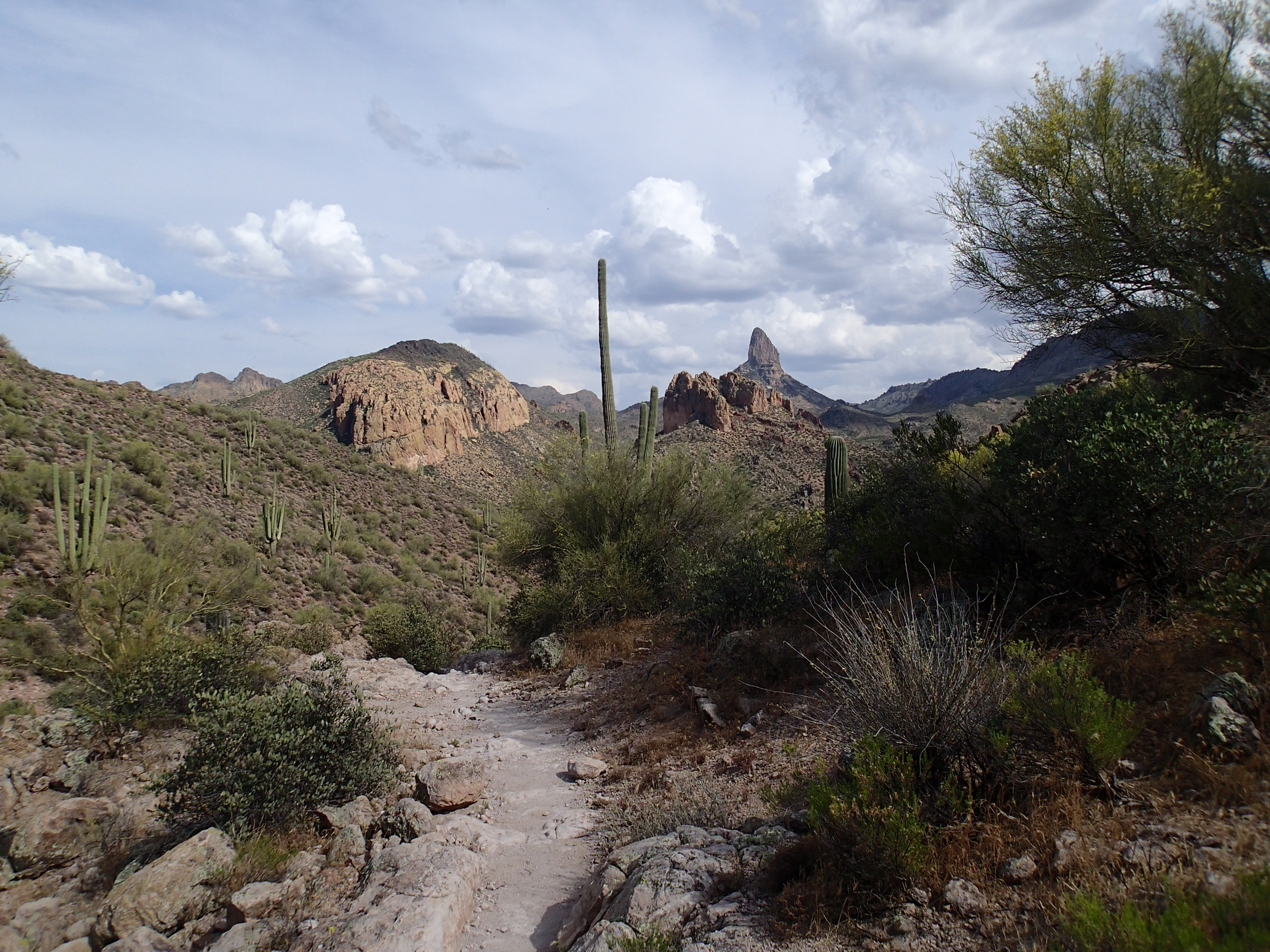
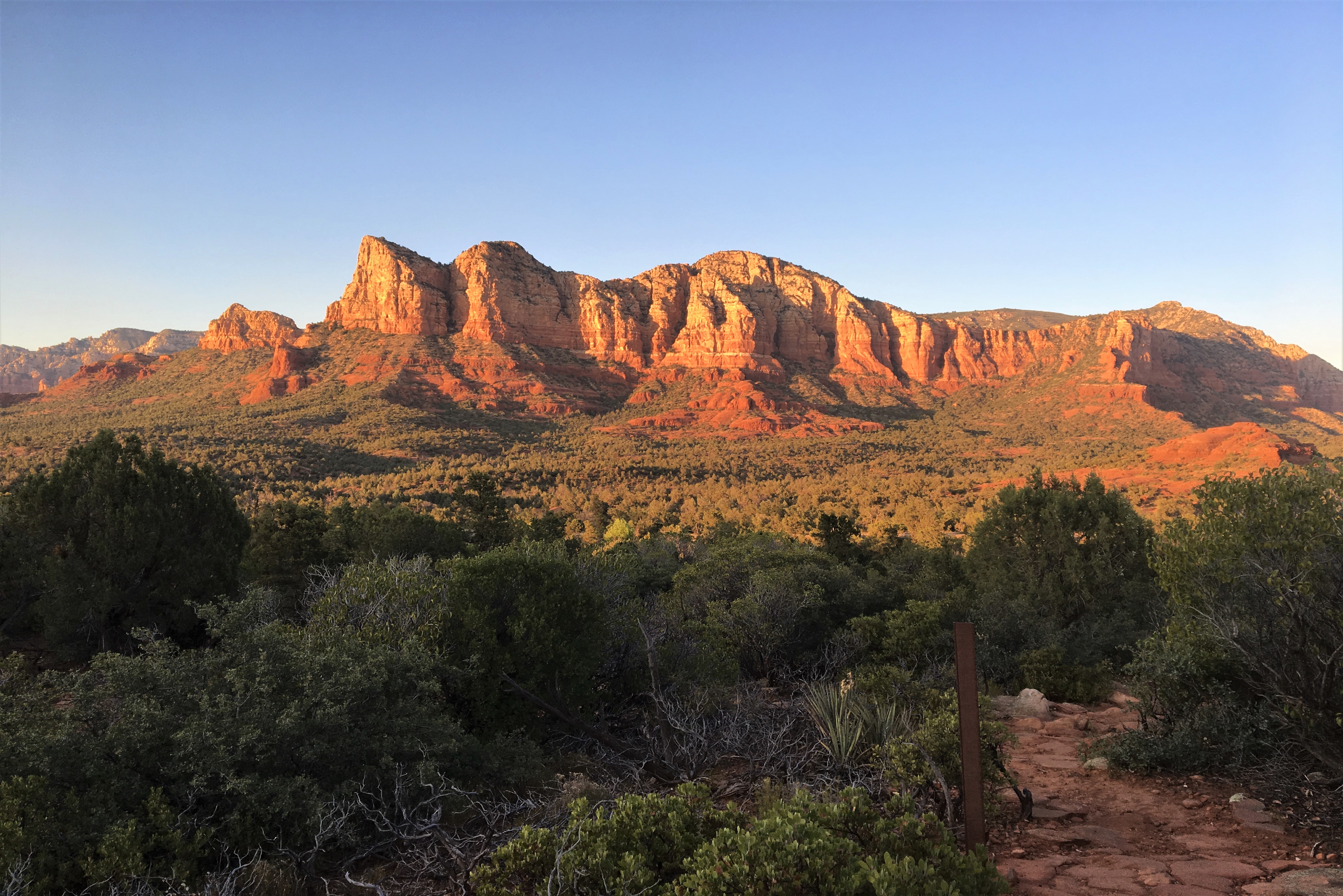
Arizona
Read FullWeavers Needle Loop
DETAILS Directions: From Phoenix, take US Route 60 east to East Peralta Road in Pinal County. Drive to the end of Peralta road for the trail head. Equipment: Sturdy hiking shoes At least one gallon of water sun protection Map/navigation trekking poles long pants. food/snacks Hike Info: While the trails are easy to follow, […]
Read Full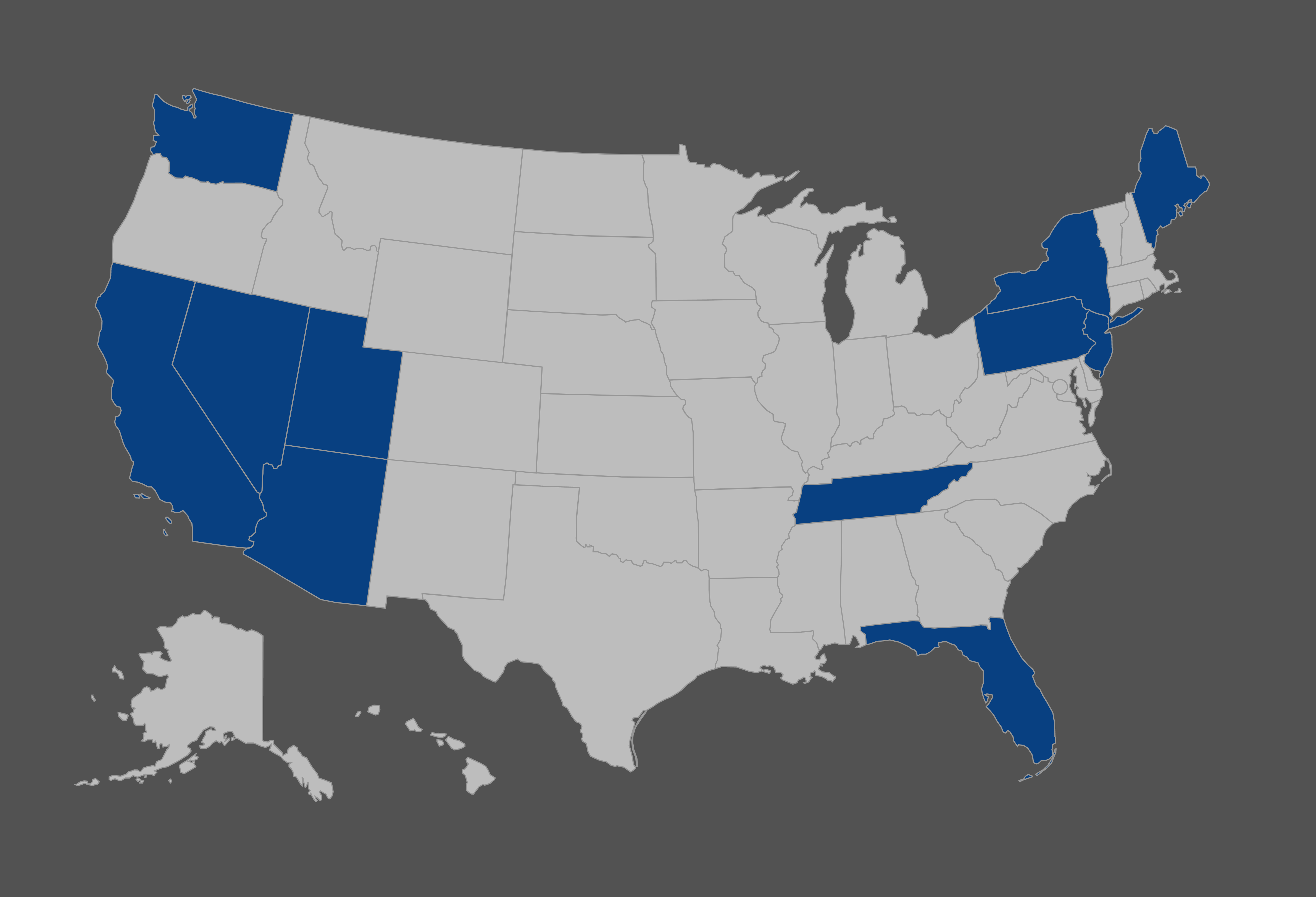
United States of America
Read Full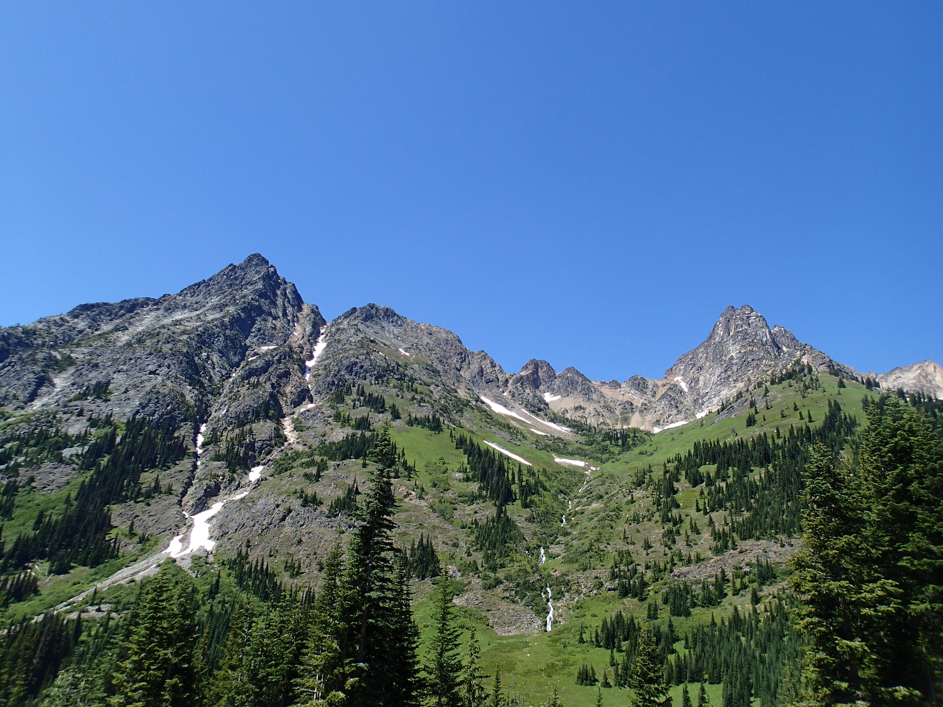
North America
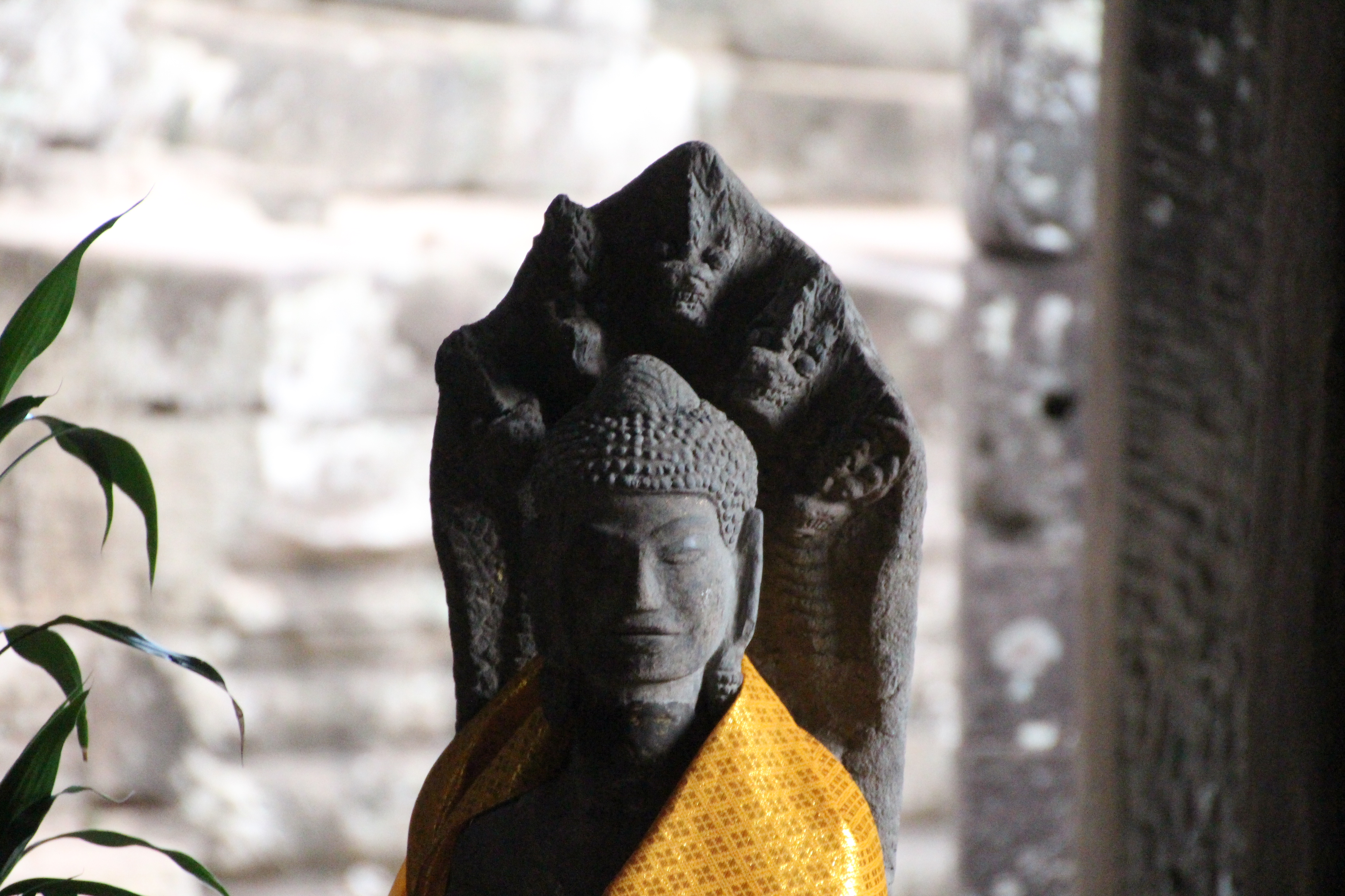
Read FullThailand
Read Full