Andorra Valley

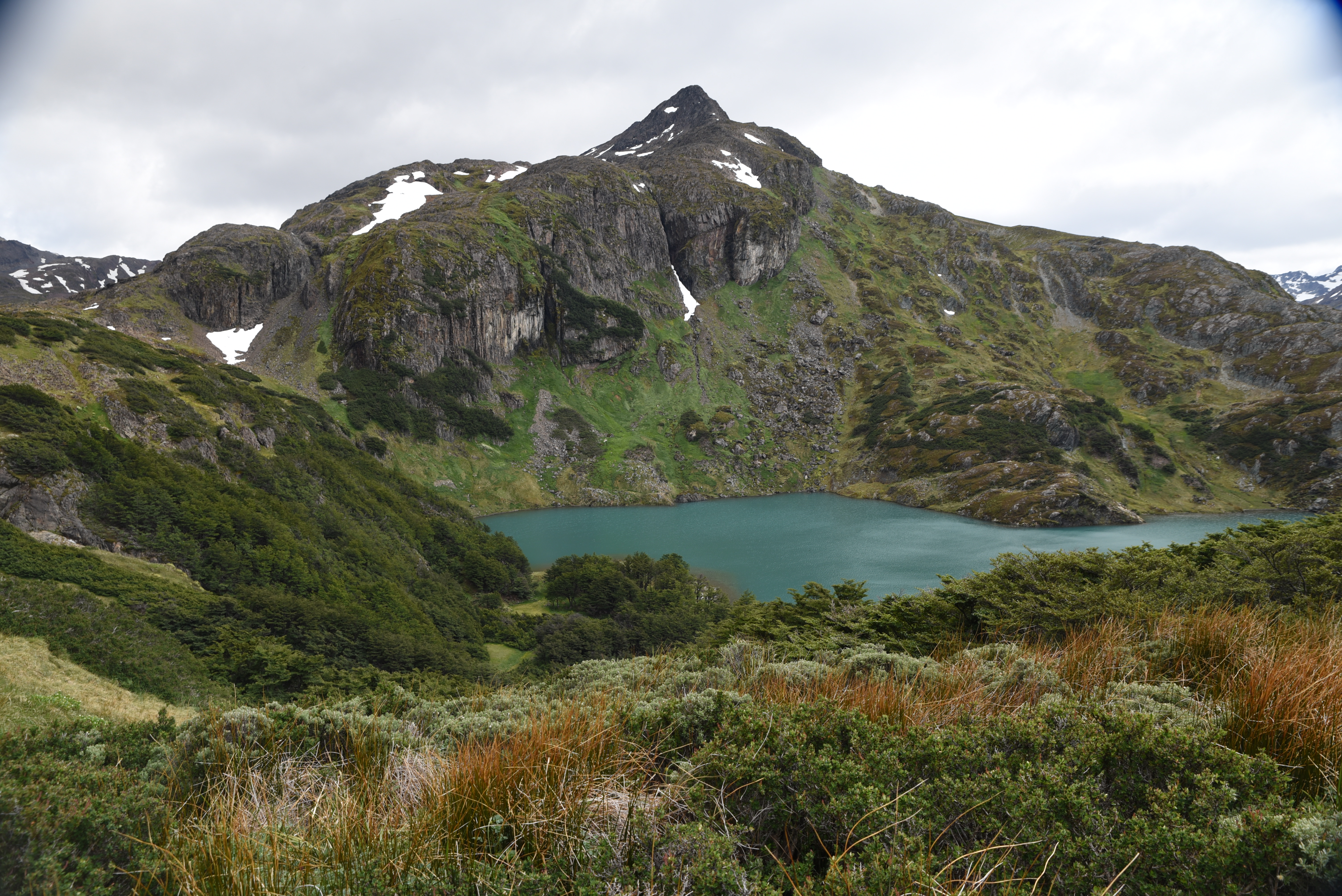
The Andorra Valley is a lush open valley at the base of the Cordon Vinciguerro mountain range. The trail leads to Laguna del Caminante over varied terrain. The start of this valley has to be one of the most beautiful in Tierra Del Fuego.
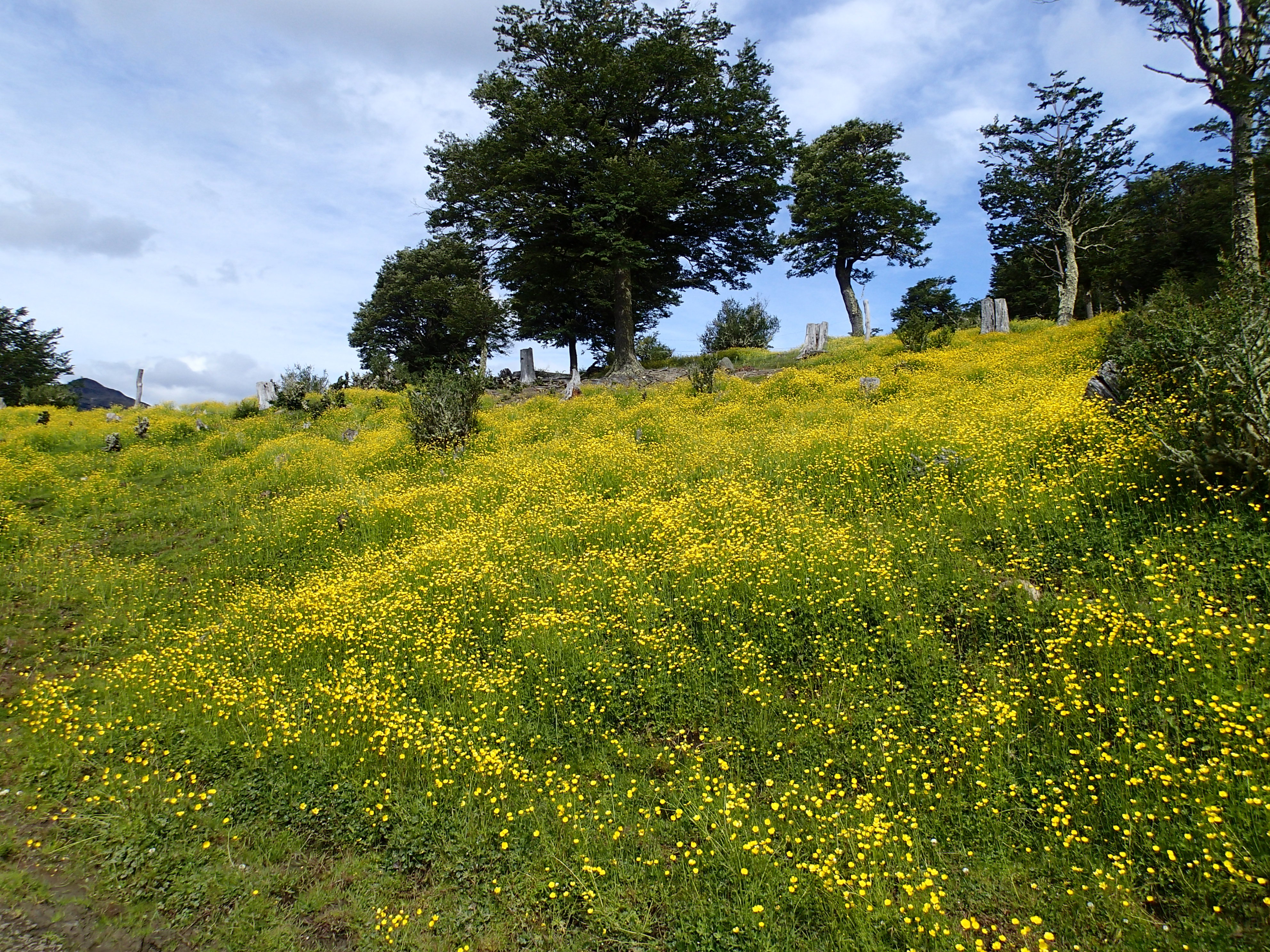
From the parking area, pass through a gate and hike up the trail which is lined with fields of Buttercup flowers. This lasts for about 0.5 miles when you gradually enter the forest. At this point, the trail gets incredibly muddy. Some attempts at trail maintenance are apparent with logs placed across the trail, but many have sunk into the mud. There is really no way around the mud, and it lasts nearly 0.75 miles.
Once in the forest, a small heard of wild horse joined me on the hike. They appeared harmless and stayed just ahead of me on the trail. There is a lot of downed trees and brush which prevented the horses from leaving the trail. When ever I got close, they galloped ahead until there was a clearing where they headed off trail and disappeared into the forest.
At the 6 mile mark, the trail begins to climb and is occasionally very steep. When you finally emerge from the forest, you arrive at a trail junction. To the left is the Canadon De La Oveja Trail. To the right is the Laguna del Caminante trail. This is the end of the Andorra Valley Trail. Turn right onto a sloping green field with plenty of wildflowers to visit the laguna.
The Laguna del Caminante trail is steep but offers great views. After rounding a corner, the trail levels out and after a short distance you have to descend a very steep drainage to arrive at the laguna. There are some great camping spots at the laguna and a good place for lunch.
Once you are done enjoying your time at the laguna, simply return the way you came.


Those fields of yellow are beautiful!
The flowers were a huge surprise. Did not expect when saw the trail on a map and decided to hike it.