West Mountain Loop

This loop follows one of the most scenic ridges in Harriman State Park. The best access to this loop is from the small parking area on Seven Lakes Drive between exit 19 from the Palisades Interstate Parkway and Perkins Memorial Drive. It is a small dirt parking area tucked in the woods. From the parking area follow the 1777W trail (red markers) up a short hill. You will know you are going in the correct direction if you keep Seven Lakes Drive on your left. After a short distance the trail intersects with the Appalachian Trail (AT on maps, White markers). Turn right on the AT and follow for .35 miles. The trail then intersects with the Fawn Trail (red markers). The Fawn Trail is a forest road also known as the Doodletown Bridal Path and is easy to follow. Turn left onto the Fawn Trail from the AT and follow for 1.25 miles.
At 1.25 miles the Fawn Trail ends when it meets the Suffern-Bear Mountain Trail (S-BM on maps, Yellow markers). The S-BM Trail turns onto the forest road so continue straight for .35 miles when the S-BM Trail turns off the forest road. Follow the S-BM Trail as it travel alongside the Doodlekill creek, eventually crossing the creek and then beginning a very steep climb up the back end of West Mountain. It is 1.4 miles from when you left the forest road and gain the main ridge of West Mountain. At that point, the trail interests with the Timp-Torne Trail (T-T on maps, Blue markers).
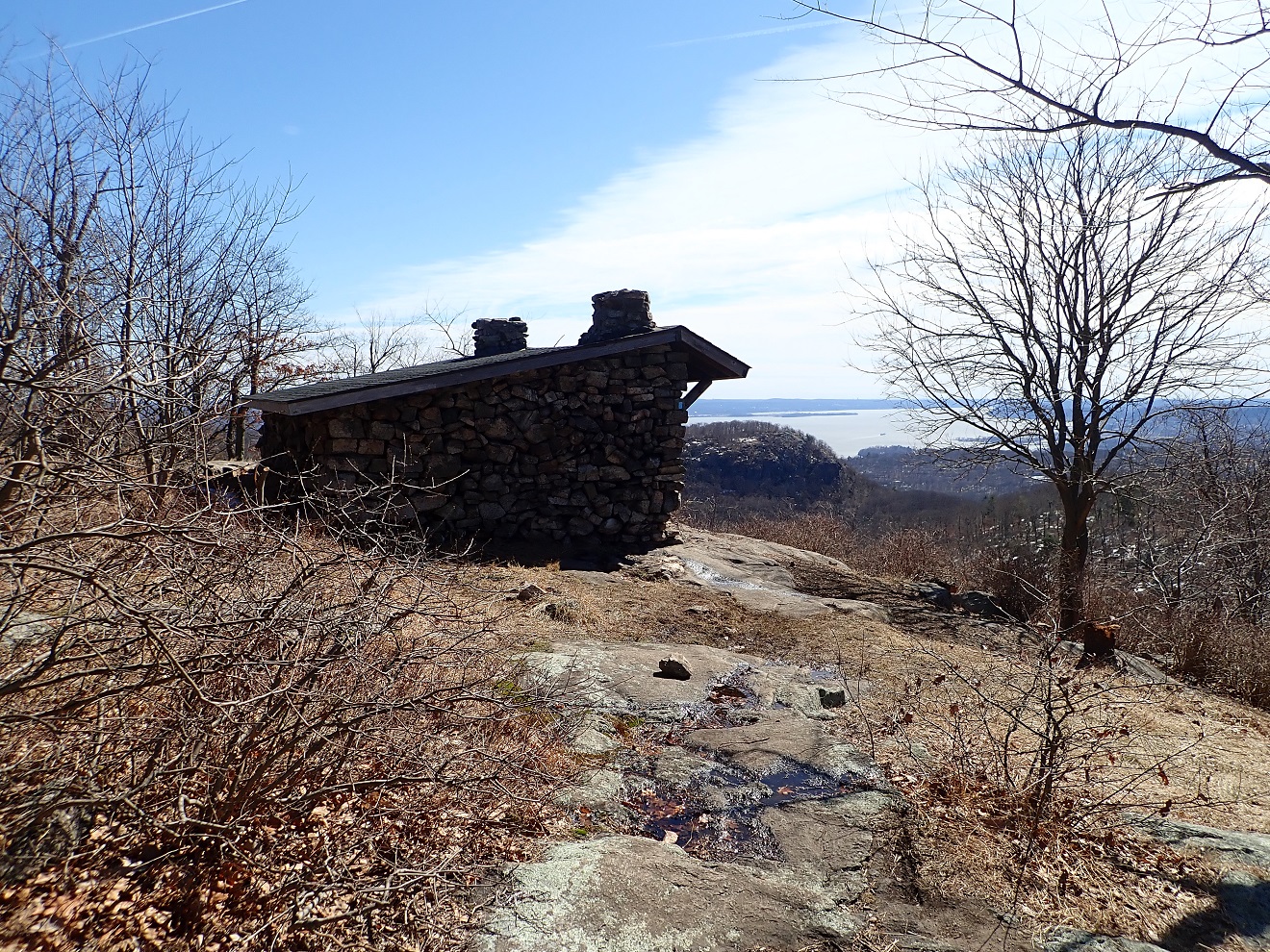
To the left about 100 yards down the trail is the West Mountain Shelter. I good place for a break with great views of “The Timp” rock formation and the Hudson River in the distance. To complete the loop, turn right from the S-BM Trail and head north on Timp-Torne Trail. This section has very impressive view point as you are now follow the ridge for nearly 2 miles. At the .5 mile mark on the ridge, the AT joins the T-T Trail. They share the same path for .75 miles when the AT turns right and descends the back of West Mountain. You can bail here as this will bring you back to the parking area for a shorter hike. For more view points, continue straight until you reach the Fawn Trail (red markers). Turn right and follow for .3 miles where you meet the AT again. Turn left and back to the parking area.


